Many thanks to John R. for these rare photos that prove my memories of seismic surveys in Hoylake were true!
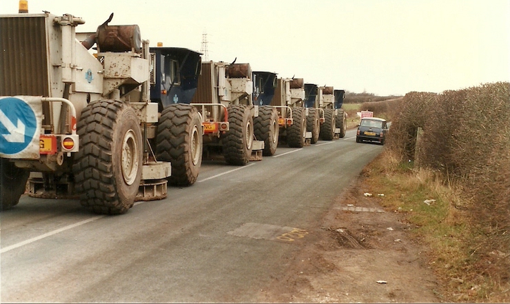
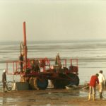
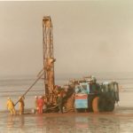
I’d mentioned last week my memory of seismic survey trucks driving in convoy around Hoylake and Meols. And, as the photos above and below capture, that’s exactly what took place in (probably) the early 80s.
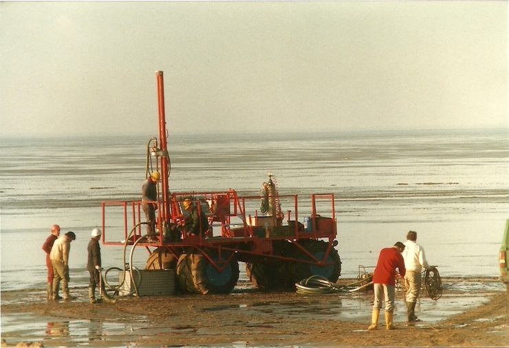
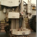
Pictured above, on the beach off King’s Gap, is a team undertaking a survey for signs of oil and gas. And below is a photo of the convoy of trucks that I remembered seeing. They’re parked up on Saughall Massie Road (“the lanes” as we call them, from Saughall Massie to the bottom of Black Horse hill in West Kirby) and you can see round “feet” that must have been used to test for seismic readings.
John suggests that they lowered the central hydraulic “foot” to take (most of?) their weight off their tyres, and sent vibrations/sound waves into the ground and recorded the echo on geophones set in the road verges. Presumably, using the roads was a quick operation, and avoided the need to seek permissions from numerous local land owners.
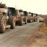
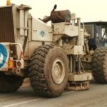
Mixing my metaphors, they obviously found gold in them, there hills – the Liverpool Bay now has four oil and gas fields. You can learn more about the Liverpool Bay Development right here. Here’s a small photo gallery of the equipment:

To think, they probably hadn’t given much thought to off-shore wind farms back then!
Post from HoylakeJunction.com